About Boolder
Boolder is a non-profit project, managed by volunteers.
Our goal is to make discovering bouldering in Fontainebleau fun and respectful of the forest.


The code and data of the apps are available in open source on GitHub.
You can also contribute by mapping missing problems or by reporting mistakes.
For any questions, you can contact us at hello@boolder.com.
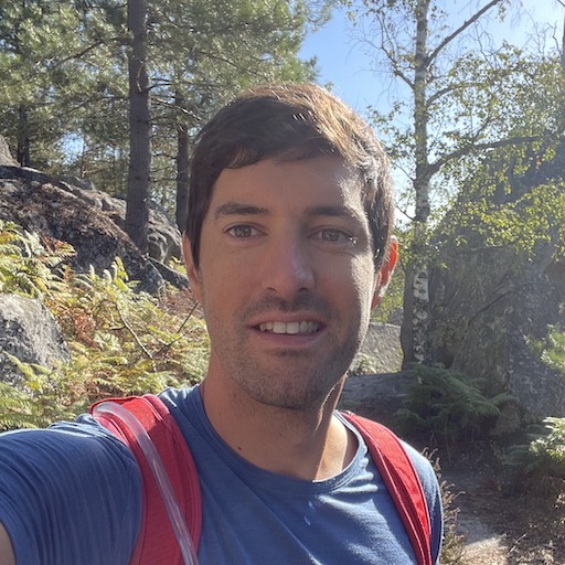
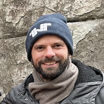
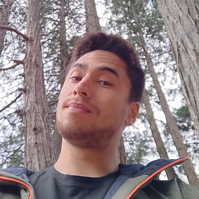
Boolder was born from the meeting between Romain, Cyril and Nicolas - two climbing enthusiasts and one technology enthusiast - living just a stone's throw from one of the most beautiful bouldering spots in the world: Fontainebleau.
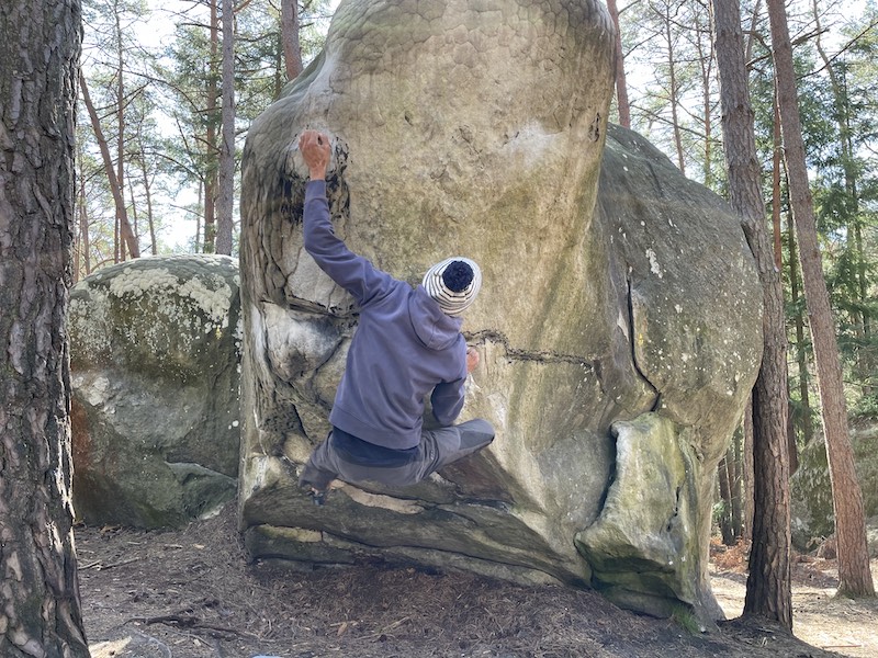
For Nicolas, it was love at first sight. His two friends made him discover the magic of "Font": the emblematic sectors, the history of the forest, the joy of climbing in the middle of nature, as well as the rules to respect (clean your shoes!).
The richness of the forest remained however intimidating: more than 200 sectors, several tens of thousands of boulders, and hundreds of circuits for all levels. How to find your way around?
Nicolas then decided to map the forest in detail for nearly 2 years and create a modern guidebook. In 2023, Boolder launched as a free app on iPhone and Android.
We extend our thanks to everyone who has contributed to the Font ecosystem: the route setters, the circuit creators (aka "track painters"), and all those who have contributed to the maintenance and cleaning of boulders, anti-erosion operations, ...
Special thanks to Bleau.info, whose team has referenced almost 50.000 problems with great care and passion for the past 20 years, and made it free for everyone. You can support them on their sponsoring page.
We also extend our thanks to the Cosiroc association and the Topo Bleau website, which have provided a wealth of firsthand data and carried out numerous on-the-ground operations.